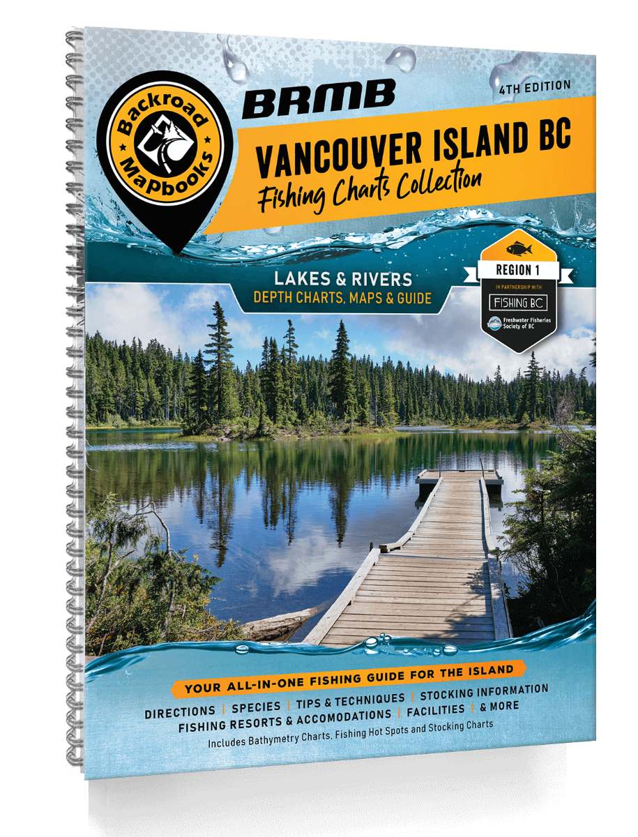
BRMB Vancouver Island BC Fishing - 4th Edition
Welcome to the new-look fourth edition of the Fishing Mapbook for Vancouver Island, BC!
Hugging the coast of British Columbia, Vancouver Island features spectacular scenery, old-growth rainforests, towering mountain peaks and exceptional fishing. The laidback culture found here, along with a population infused with a love of the natural world, makes the island an angler's dream. Here you will find world-class salmon and steelhead bearing rivers along with lakes teeming with a variety of trout and other species.
In our continued quest to provide the best and most up-to-date information, users of this Fishing Mapbook will find that fishing, access and facilities, including the campsite, lodge and resort details, have been reviewed and fully updated. There are new and improved bathymetric lake depth charts while fish species and stocking information for all lakes and rivers provide the most recent information available. We have even added the newest fishing dock information to our maps and facility information.
The printed version of this Fishing Mapbook comes in the convenient 21.5 x 28 cm (8.5 x 11 inch) mapbook format with a heavy-duty spiral-bound cover. To assist the greenest angler to the most seasoned veteran, the 168-page book with over 150 lakes, rivers and shore fishing areas, shows you where to fish and how to best fish in any given area. We have loaded it with fishing tips, breakdowns of various fish species, fly hatches and specific information on each lake and stream. Inside, you will find maps and depth charts for popular lakes, plus bar or hot spot maps of the main rivers and shore fishing areas of the Island. Nowhere else will you find such a combination of detailed regional information plus angling expertise all in one place.
Print Features
- Map Key & Legend
- Fish Species
- Fishing Tips & Techniques
- Over 150 featured Lakes, River & Shore Fishing areas
- 134 Lakes with Lake Depth Charts
- 16 featured River systems with River Hot Spot Maps
- 5 Shore Fishing areas with Overview Map
- Stocking Charts
- Hatch Chart
- BC Fishing Resorts & Outfitters Service Directory
- Index
- Trip Planning Tools
Released: 2021
UPC: 6-22098-11080-7
ISBN #: 978-1-989175-12-5
Pages: 168
Maps: 150+ Lake Charts, River Maps and Shore Fishing Maps of various scales
Map Features: Bathymetric Lake Depth Charts, Lake Data including Elevation, Surface Area, Maximum & Mean Depth, Access Roads, Land & Water Features, Parks & Rec Sites, Boat Launches, Campgrounds, Fishing Docks, Picnic Areas, Resorts, Trails, and more.
Areas Covered: Campbell River, Chemainus, Comox, Courtenay, Duncan, Gulf Islands, Gold River, Lake Cowichan, Nanaimo, Parksville, Port Alberni, Port Hardy, Port McNeill, Qualicum Beach, Sayward, Sidney, Sooke, Tofino, Ucluelet, Victoria & more
